


Property maps are a useful planning tool. Having the ability to interrogate the information provided is invaluable.
“Maps are like campfires – everyone gathers around them, because they allow people to understand complex issues at a glance, and find agreement about how to help the land“
Unknown
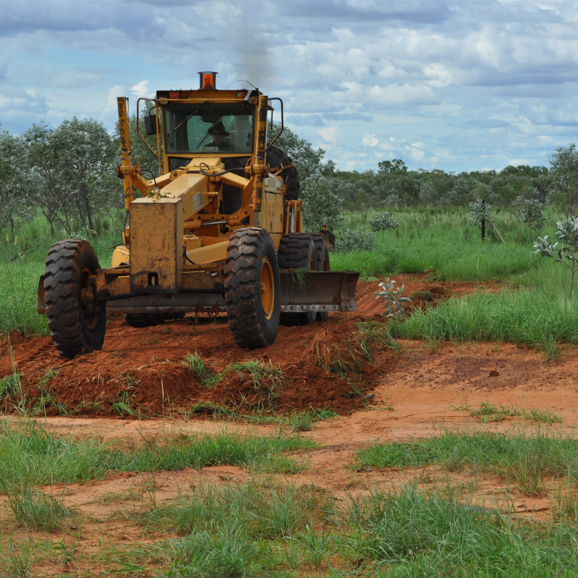
For example, land system and topography information can be overlaid with existing infrastructure information to identify the best location for new development. The same information can be used to calculate sustainable, long-term carrying capacities to ensure maximum return and calculate how long the investment will take to pay for itself.
Maps are also useful in planning land management practices. Fire histories, both from prescribed burns and bushfire scars, can be documented. Weed populations can be mapped allowing for more informed control programs and tracking of progress.
This information, while useful in itself, can be used to support grant and loan applications, often increasing the probability of a successful outcome.
Property Mapping Services
Talk to us about your property mapping needs today.
- Infrastructure development
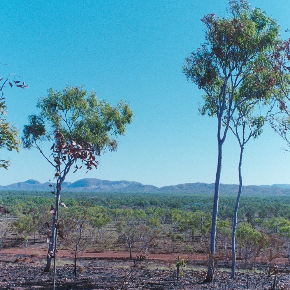
- Land system mapping
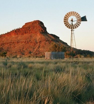
- Carrying capacity calculations
- Fire scar history
- Weed control
- General navigation (new staff, contractors etc.)
